
UAV Airborne Hyperspectral Remote Sensing System
UAV Airborne Hyperspectral Remote Sensing System developed by the Institute of remote sensing and digital earth, Chinese Academy of Sciences, makes the best of unmanned aerial vehicle platform with manufacturing maintenance cost low and flexible of features, exploit the advantages of Imaging Spectrometer to the full, gets many continuous bands of ground features spectrum images, It is became main technology means to earth-observation on the contemporary, will play an important of role in geological, and agricultural, and disaster, and military field.
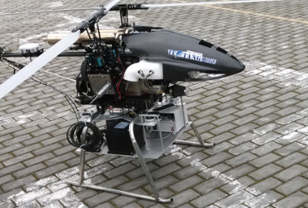
The system appearance

The software interface
Table: Main technical parameters of the UAV Airborne Hyperspectral Remote Sensing System.
|
Spectral range |
400–2500 nm |
Loading weight |
<25kg |
Loading condition:Visible-near infrared imaging spectrometer,Shortwave infrared imaging spectrometer,High-definition resolution camera,high-precision IMU.